
Bethlehem ZIP Code Directory Coverage
The Town of Bethlehem has seven hamlets: Delmar, Elsmere, Glenmont, North Bethlehem, Selkirk, Slingerlands, and South Bethlehem. The official Town community profile describes the civil geography, while the Town’s open-space survey separates the postal areas associated with it. This ZIP code directory keeps the core areas, extra postal location, and edge cases distinct. The Bethlehem ZIP code directory records each postal label without treating it as a Town boundary. A postal city is useful for mail and search filters, but it does not replace the municipality recorded for a parcel.
| ZIP | Areas covered | Post office or locality | Record-search note |
|---|---|---|---|
| 12054 | Delmar and Elsmere | Delmar Post Office | Core central and Tri-Village mailing area; verify the exact address with USPS. |
| 12067 | Feura Bush area | USPS city and ZIP lookup | Town survey lists it as a local edge area; confirm the parcel municipality. |
| 12077 | Glenmont | Glenmont Post Office | Core Glenmont postal area, not a Town boundary. |
| 12158 | Selkirk and South Bethlehem | Selkirk Post Office | Town survey groups both here; check street and unit with USPS. |
| 12159 | Slingerlands | Slingerlands Post Office | Nearby New Scotland addresses can share its postal city. |
| 12161 | South Bethlehem | South Bethlehem postal location | USPS identifies this additional postal ZIP even though the Town survey groups South Bethlehem with 12158. |
| 12203 | North Bethlehem | Albany postal area | Do not exclude a Town parcel because its postal city reads Albany. |
| 12143 | Ravena edge | Ravena area | Shown at 0.00 percent in the cited Town survey table, so use it only as an edge check. |
For the full municipal setting, consult the Town of Bethlehem Community Profile. It establishes the hamlet context that a ZIP-only search cannot supply.
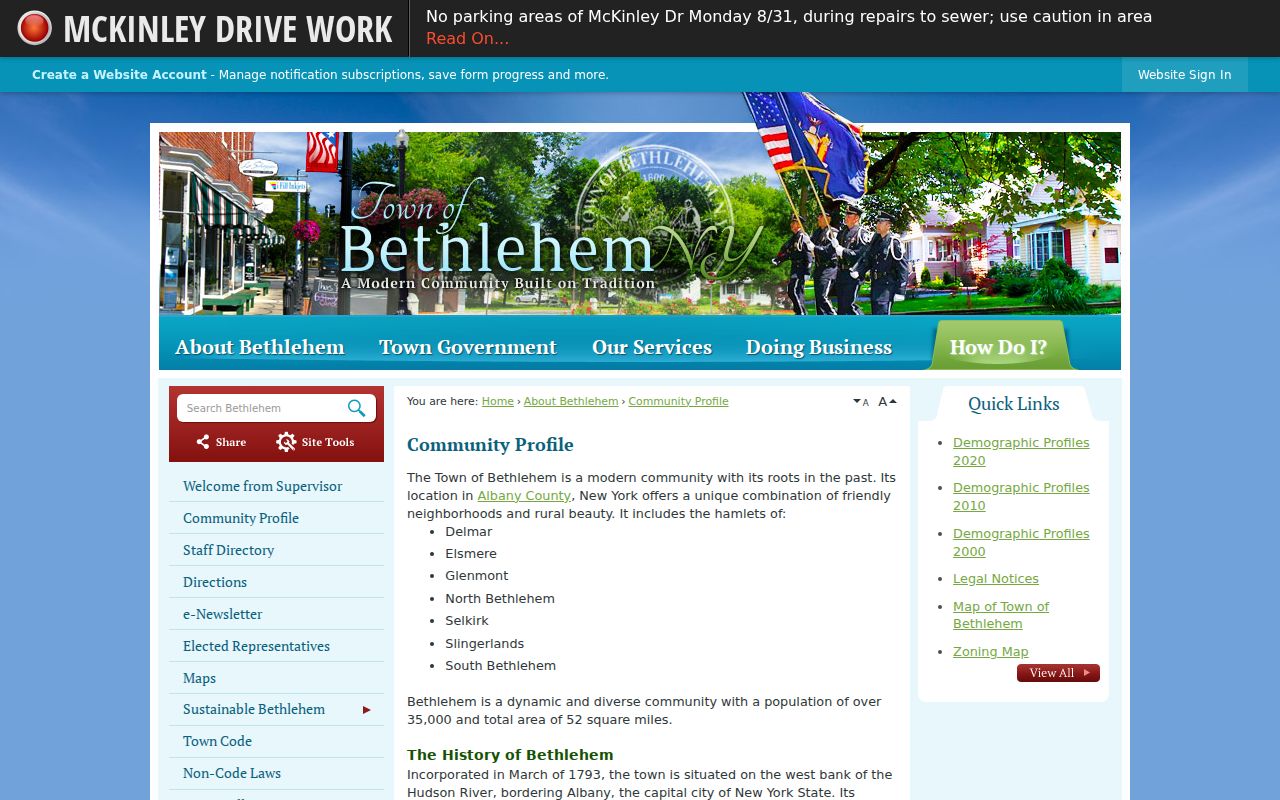
The community profile helps keep the Bethlehem ZIP code directory tied to the Town’s actual hamlets. Use the postal result, parcel result, and source date together when a record uses a different mailing city.
Central Bethlehem ZIP Code Areas
12054 serves Delmar and Elsmere, the central Tri-Village mailing context. The Delmar Post Office is at 357 Delaware Avenue, Delmar, NY 12054-9998. 12077 is associated with Glenmont, where the Glenmont Post Office is at 392 Feura Bush Road, Suite 700, Glenmont, NY 12077-3096. Each is a useful starting filter for a mailing address, but a ZIP-wide result can include more than one civil geography.
Use an address rather than a hamlet name when possible. The Town record may display the property location, while an owner mailing address can use a different postal city or ZIP. That is ordinary record structure, not evidence that a parcel lies outside Bethlehem.
Slingerlands uses 12159, with a post office at 1399 New Scotland Road, Slingerlands, NY 12159-9997. Its mailing geography can overlap nearby New Scotland addresses. In a historical result, the Tri-Village label can also appear beside Delmar, Elsmere, or Slingerlands. Keep the printed postal label as found, then confirm the Town or parcel field before grouping the record with a Bethlehem address.
South Bethlehem ZIP Code Choices
South Bethlehem is the most important local postal mismatch. The Town survey groups Selkirk and South Bethlehem under 12158, and the Selkirk Post Office is at 1155 US Route 9W, Selkirk, NY 12158-9998. USPS also identifies a South Bethlehem 12161 location at 541 Bridge Street. Retain both labels with their source and date instead of treating either one as an error.
The difference reflects two systems. The Town survey is a planning and land-use source. USPS controls the current mailing recommendation. A name or address search should use the postal ZIP the service accepts, then verify the Town of Bethlehem parcel through assessment or GIS fields.
Note: A South Bethlehem result needs its full street address and current USPS validation before it can be narrowed to one postal area.
North Bethlehem ZIP Code Edge
North Bethlehem appears in the Town source with 12203, an Albany postal ZIP. That is a good example of why city-name filtering can miss a Town of Bethlehem record. The geographic decision belongs to the assessor’s situs or property-location field, the municipality field, and the parcel key, not to the postal city alone.
The 12067 Feura Bush area and 12143 Ravena edge likewise need a parcel-level check. The local survey identifies their relationship to the Town’s postal landscape, but it does not turn every address carrying those ZIPs into a Bethlehem parcel. Use the exact address and the map before drawing a conclusion.
Bethlehem ZIP Code Search Fields
USPS ZIP Lookup is the verified postal route. It offers three ways to check a result: By Address, By City and State, and Cities by ZIP. USPS says its output is a mailing and address recommendation, not confirmation that a particular person or organization is at an address. Add an apartment or unit when available, because that can narrow the address match.
| USPS mode | Required input | Best use in Bethlehem |
|---|---|---|
| By Address | Street address plus city/state, or street address plus ZIP | Validate an individual mailing address before using a postal filter. |
| By City and State | City and selected state | Explore the postal labels associated with a hamlet or mailing city. |
| Cities by ZIP | Five-digit ZIP | Check the postal city output without assuming it identifies the civil Town. |
USPS is the ZIP authority, but it does not assign Town parcels. Follow the postal check with the Town assessment roll or MapXpress before treating the result as Bethlehem geography.
Find Residents by Bethlehem ZIP Code
A ZIP filter can narrow a search, but it cannot supply a complete resident roster. Work from the address and record type that you actually need. The New York voter lookup accepts a ZIP as part of an individual registration workflow, and the Town property system can expose a mailing ZIP or address data depending on the current locality interface. Record what the selected official portal returns, rather than inferring a ZIP from the Town name.
- Validate the mailing address through USPS, preserving the complete address and unit where applicable.
- Use the Town assessment roll or Beacon portal to check the property location, SBL, assessment owner, and roll year.
- Open the parcel in MapXpress and confirm the municipality and parcel context. A null ZIP field in a parcel dataset is not a negative result.
- For an individual voter-registration check, use the NYS Voter Lookup with Albany County, name, date of birth, and the postal ZIP required by the service.
- If a Town record is not online, make a focused request for an existing record through the appropriate office or FOIL route.
New York Election Law section 3-103(5) limits voter-registration data supplied for non-election purposes. The public lookup is not a downloadable voter roll, and a match does not prove current residence. Once a ZIP has located the right area, use the Bethlehem street directory for the parcel-by-parcel record trail.
Bethlehem ZIP Code Parcel Checks
The Town Online Assessment Roll and MapXpress parcel viewer provide the municipal check after postal verification. The assessment materials distinguish a property location from an owner mailing address and can show an SBL or deed book/page. MapXpress provides parcel geometry, roads, overlays, and parcel information. Use the SBL and Town field to resolve an address near a ZIP or hamlet edge.
For an in-person assessment question, the Town Assessor is in Town Hall Room 114, 445 Delaware Avenue, Delmar. The office says rolls can be inspected there as well as online. Albany County Real Property Tax Service Agency also maintains tax-map, digital-map, and parcel-search resources. These office and online channels can help when an address result needs a roll-year or map check that a postal tool cannot provide.
A state parcel example for 1 Ariana Ct (Private) includes a null LOC_ZIP alongside property and mailing data. That field design is a reminder not to turn a blank ZIP into an address conclusion. Preserve the source spelling, private-road note, municipality, and year of the record.
Bethlehem ZIP Code Boundary Limits
ZIP boundaries are postal routes, not Town limits. A Bethlehem parcel can carry a Delmar, Albany, Glenmont, Selkirk, or other mailing label. In the other direction, a mailing ZIP that appears in the Town’s postal survey can cover property beyond the Town. For current parcel geography, rely on the assessor’s property location, municipal name, SWIS or SBL, and map context.
- ZIP and ZIP+4
- A five-digit ZIP identifies a postal area. The added four digits narrow a delivery segment or address range.
- PO-box ZIP
- A postal designation used for box delivery. It does not locate a street parcel by itself.
- Unique ZIP
- A ZIP used for a single organization or large delivery arrangement when USPS assigns one.
- Carrier route
- A delivery grouping used by the postal service. It is not a municipal boundary or ownership record.
Bethlehem ZIP Code Record Access
When a ZIP search leads to an address-related Town record that is not public online, begin with the office that holds it. The Town FOIL page provides the formal route for reasonably described existing Town records. Requests can use the web form, FOIL@townofbethlehem.org, or mail to the Town Clerk and FOIL office at Town Hall, 445 Delaware Avenue, Delmar, NY 12054. The Town does not have to create a new ZIP-based list or run a custom database match. Give the address, parcel key, date range, and record category, and ask for statutory redactions where appropriate.
Under New York Freedom of Information Law, Public Officers Law sections 84 through 90, an agency generally responds within five business days by granting, denying, or acknowledging a request with an approximate determination date. Inspection is free, while ordinary paper copies are capped at 25 cents unless another statute sets a different rate. Protected addresses and confidential voter records remain outside ordinary disclosure.