
Bethlehem Neighbors by Parcel
For Town of Bethlehem neighbors, the public record starts with a parcel, not a social claim. MapXpress can show adjoining parcel geometry, roads, easements, wetlands, aerial context, and sales-year layers. Beacon and the assessment roll add the assessed owner, mailing field, property location, exemptions, value, SBL, and deed book or page where present. Tax maps give lot lines and street names, while historical directories give a dated adult-household clue. None of these sources proves who currently occupies every home on a block.
| Source | What it shows around a Bethlehem block | Access and limit |
|---|---|---|
| MapXpress | Adjoining parcels, roads, overlays, aerial history | Public map locator, not a boundary survey |
| Beacon and assessment roll | Assessed owner, situs, mailing field, SBL, value | Parcel-by-parcel; not a household roster |
| Town tax maps | Lot lines, dimensions, easements, street names | Assessment purpose, not legal boundary proof |
| Library maps and directories | Historic streets, adult names, village context | Dated snapshot; some years require in-person work |
| NYS parcel feature service | SBL, owner, situs, mailing, values, deed fields | Public attributes can be null or stale by roll year |
The Town of Bethlehem parcel systems are strongest for an immediate block. A longer street-by-street chain belongs with the SBL and deed workflow in the Town of Bethlehem street directory.
Map a Bethlehem Block Outward
MapXpress is the local tool for a block walk. Turn on Parcel Information, then use the parcel map to select the subject lot and each adjoining lot. The map includes Multi Select, print, measurement, drawing, and buffer controls. A buffer or measurement can describe proximity, but it cannot establish a legal boundary. Record both the on-map address and the SBL before connecting any name to a Town of Bethlehem neighbor result.
- Locate the subject address in Bethlehem MapXpress and save the parcel ID or SBL.
- Click each adjoining parcel and note its street-facing address, owner or assessment field, lot shape, and any road or access clue.
- Check the same parcel in the Beacon roll for the property location, owner field, mailing field, deed book or page, and roll year.
- Use the tax map, legal description, or recorded deed when a lot line, subdivision, or former parcel needs confirmation.
That flow is address to parcel, parcel to SBL, SBL to assessment context, then deed or map confirmation. It keeps a nearby parcel from being mistaken for the same address.
Bethlehem MapXpress Layer Clues
MapXpress adds context that a text assessment card cannot. Its visible layers include easements, mismatched parcels, open space, surveyed wetlands, aquifer protection, inland wetlands, contours, sales by grand-list year, and aerial images from 2004, 2012, 2016, 2019, and 2023. The sales layer identifies 2025 in red, 2024 in yellow, 2023 in green, 2022 in blue, and 2021 in purple. These are map clues, not proof of a neighbor relationship or a current move.
Use an aerial to see whether a large older parcel became a newer subdivision, then compare it with a deed and the current SBL. Easement and mismatched-parcel layers can explain why two Town of Bethlehem neighbors appear close on a screen but are separated by a right-of-way or different parcel geometry.
Note: Town tax maps locate assessment parcels, but a survey, deed, or title record controls a legal boundary question.
Bethlehem Neighbors: Owner or Occupant
For every neighboring lot, keep the property location and the owner mailing field in separate notes. The Town's 2025 assessment-roll example includes a tax-map number, property class, owner name, mailing address, assessed values, exemption code, special districts, parcel size, deed book and page, and market value. Those fields establish assessment context. They do not say that the owner currently lives on the lot, and they do not create a list of household members.
A parcel may also have blank fields. The inspected state record for 1 Ariana Ct retained the private-road label and had null location ZIP, unit, and room fields alongside other parcel data. Blank does not mean a person is absent, and a mailing ZIP can differ from the Town of Bethlehem parcel location. Preserve the source's road spelling and parenthetical rather than silently changing it.
Bethlehem Community Leads by Hamlet
No current official Town of Bethlehem neighborhood-association directory was located. Rather than label historical groups as active associations, use the verified community and history resources below as leads for block context, local files, and historic organizations. The town's 2026 planning groupings also use Selkirk/South Bethlehem, Glenmont, Delmar/Elsmere, and North Bethlehem/Slingerlands. Those groupings help describe an area, but they do not replace parcel boundaries.
Bethlehem Public Library
Local History Room materials include directories, maps, yearbooks, obituaries, microfilm, and local files for a dated block record.
Open local history resourcesTown Historian and Archives
Finding aids organize town and historian material by origin, including organization, map, land, school, and family records.
Contact the Town HistorianBethlehem Historical Association
The association and its oral-history work offer local-history context for Selkirk and the town's older community records.
Visit the Historical AssociationHistorical files name groups such as the Delmar Taxpayers Improvement Association, Delmar-Elsmere Sewing Circle, and Committee That Cares. Treat those as archival leads only, not evidence of a current roster or affiliation.
Historic Bethlehem Neighbor Context
A modern parcel view becomes more useful when paired with the town's historic map and directory material. Library files identify Tri-Village maps for 1943, 1961, 1966, 1967, 1971, 1973, 1974, and 1980. The 1891 F.W. Beers atlas is a regional landowner lead, but researchers should confirm that the selected sheet covers the Bethlehem location. The 1982-83 Tri-Village directory is a publication-year snapshot that can show adult names, address, spouse notation, and village abbreviations.
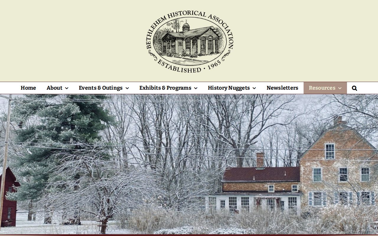
The Bethlehem Historical Association's local-history links provide source routes for this historic block context.
Use a map or directory date beside every name. A historic address can retain a familiar street label after lot lines, postal labels, or nearby development have changed.
Bethlehem Address Record Requests
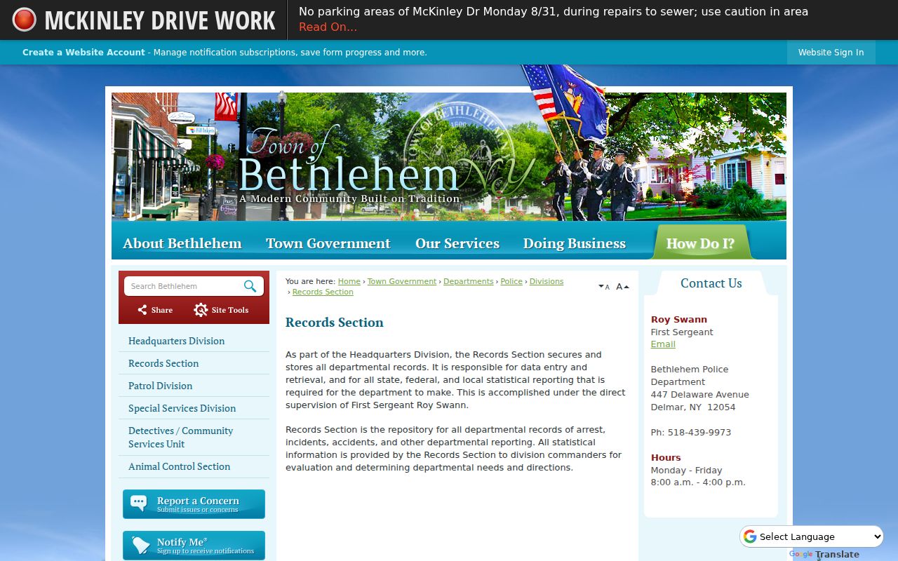
The Town of Bethlehem Police Records Section handles request-specific incident, arrest, and accident records, subject to review and redaction. No public police name-search portal was located. A records request should describe the existing incident or address record sought and should not ask the town to create a new list of people around a block. For municipal records held elsewhere, FOIL gives the Town Clerk's records-access routes, including the online form and printable, mail, or published email alternatives.
The Bethlehem Police Records Section is the official source for that request route.
Police material can be restricted, incomplete, delayed, or redacted. It is not a substitute for an emergency response or a way to identify every Town of Bethlehem neighbor.
Bethlehem Voter Records by Block
The New York voter lookup is not a block roster. Its individual workflow uses county, last name, first name, date of birth, and ZIP, and a lawful result can return registration or poll-site information for the person searched. A postal ZIP may cross a municipal boundary, so a Town of Bethlehem parcel should still be checked with its SBL and map context. A voter match does not establish title, current occupancy, or every household member.
New York Election Law §3-103(5) limits voter-registration information furnished for non-election purposes. The state Board of Elections FOIL route requires an election purpose for voter-file requests and offers records review or copies under its published rules. Confidential voter registration is protected. For a block question, this means the assessment and parcel records should remain the primary documented layer, with voter information used only within the law and its stated scope.
Bethlehem Neighbor History at Four Corners
Delmar's Four Corners history is a local reminder that an address needs a time label. The historical walk identifies the former Masonic Lodge at 421 Kenwood Avenue, the former Delmar station in the Adams Station railroad context, the 1836 Adams House Hotel at 393 Delaware Avenue, and the former Delmar Free Library Association site at 90 Adams Place. Those references can help explain a place name in an old directory or map, but they do not identify present Town of Bethlehem neighbors.
Pair a historic reference with the date of the map or directory, then return to the current parcel map and SBL. This small story prevents a former civic landmark from being treated as a current parcel description.
Bethlehem Neighbor Sources Compared
Official parcel and local-history records are better for asking a narrow, documented question. Commercial neighbor-lookup services may combine old addresses, public filings, and mismerged names. They can be a starting claim to verify, but not a source to repeat. Use a date-stamped official record and its stated limitation before calling an address, owner field, or directory listing a Bethlehem neighbor result.
| Official Bethlehem sources | Commercial neighbor tools |
|---|---|
| Identify the custodian, roll year, parcel field, and record scope. | May blend sources with different dates and unclear matching rules. |
| Support a parcel, assessment, or historic-directory fact with a direct source. | Can surface stale addresses or a match for a different person with the same name. |
| Offer office, library, archive, or FOIL fallback routes when the web record is incomplete. | Do not replace the record custodian or establish a current household. |
Privacy Rules for Bethlehem Neighbors
Protected records stay protected even when a parcel is public. New York's Address Confidentiality Program can substitute a mailing address for eligible participants, and confidential voter registration under Election Law §5-508 separates qualifying records from public voter files. Public Officers Law §87(2)(b) also permits withholding where disclosure would be an unwarranted invasion of personal privacy. Do not collect or publish full dates of birth, signatures, private contact details, DMV information, medical data, or protected addresses.
Lawful use. Town of Bethlehem neighbor research is for personal, lawful purposes such as understanding a parcel or local history. Using records to monitor, harass, intimidate, or harm another person can violate New York law.