
Trace a Bethlehem Street by Address
Start a Bethlehem street search with the property location, also called the situs address. The Town assessment system and parcel map give the stable pieces of the record: the address, Section-Block-Lot identifier, or SBL, and the assessed owner. Those fields are more useful than a street name alone when the same road name occurs in another municipality or when an older deed does not use the current house number. An owner mailing address is a separate field. It can be outside the Town of Bethlehem and does not establish who is currently at the property.
- Search the address in the Town assessment roll or Beacon portal. Save the returned situs, SBL or print key, owner field, roll year, and deed book/page where shown.
- Open the same parcel in MapXpress and check its geometry, road access, and nearby parcels. Use the parcel number to avoid a match based only on a similar street name.
- Use the owner name and legal description in the Albany County Clerk land-record index. A current grantee can lead to the earlier grantor in the deed chain.
- For a past address question, compare the exact street form with local directory and map material. Keep each publication year beside the name you find.
- Use voter material only through the official New York process and only for its permitted election purpose. A match is not a full household list or proof of present residence.
That sequence keeps the Bethlehem street directory focused on address-keyed evidence. It also makes a missing result easier to diagnose, since a blank portal result may reflect a spelling, a private-road label, a changed parcel, or a coverage limit rather than an absence of records.
Bethlehem Street Directory Parcel Keys
The Town of Bethlehem tax-map system organizes land with a Section-Block-Lot identifier. The Town property tax-map page explains that its maps show lot lines, street names, SBL identifiers, dimensions, and easements. Use the SBL or print key as the tie between a map, a tax roll, and a deed description. The maps are made for assessment work. They help locate a parcel, but they do not establish a legal boundary.
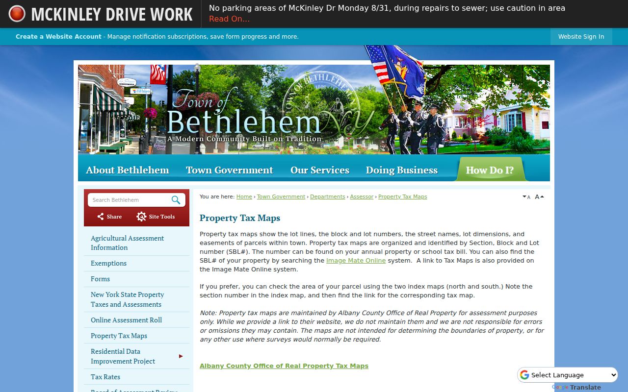
For a Bethlehem street directory search, record the map key exactly as shown before testing a shortened address or an alternate road name. A tax map can clarify where a lot sits, while a deed, survey, or title record handles the legal description.
- Parcel or SBL
- The Section-Block-Lot identifier used to distinguish one assessed parcel from another.
- Situs address
- The property location carried by the assessment record. It is distinct from an owner mailing address.
- Plat or tax map
- A mapped lot reference used for assessment context. It is not a substitute for a boundary survey.
- Criss-cross directory
- An address-oriented directory that can help place a past household at a published street address and date.
Bethlehem Street Directory in Beacon
The Town of Bethlehem Online Assessment Roll links the current Beacon property system and assessment-roll PDFs. Beacon is the current-property starting point for a street directory search. The Town describes the system as a source for real property, structures, exemptions, sale information, tax bills or payments, and comparable assessments or sales. Select Bethlehem before searching, then use the returned parcel data rather than treating a name hit as a resident confirmation.
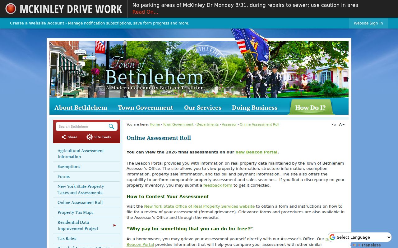
The assessment page is also the safest starting point when an address has a unit, a directional suffix, or an unusual road label. The roll PDFs provide an alternate inspection route when the live interface changes.
| Beacon control | Input or status | Street-search use |
|---|---|---|
| Locality or municipality | Selection | Choose Bethlehem before an address search. |
| Street or address | Text search | Use the property location and retain private-road or unit wording. |
| Parcel, SBL, or print key | Text identifier | Use the best disambiguator when street names repeat. |
| Owner name | Text search | Searches the assessment owner field, not a current-resident register. |
| Sales, exemptions, tax links | Tabs or filters | Record the roll year and source date beside any result. |
Research did not capture the live portal’s exact required-field marks after locality selection. Do not assume a whole-street export exists. Where a broad street search is unavailable, inspect parcels one at a time and note the date checked.
MapXpress for Bethlehem Street Records
Town of Bethlehem MapXpress gives the spatial half of a street directory search. Its visible controls include SEARCH, Parcel Information, Multi Select, Print, and measurement tools. Layer groups include easements, mismatched parcels, open space, wetlands, contours, sales by Grand List year, and aerial imagery. Click the subject parcel first, then review each adjoining lot separately. The parcel map is a locator and context tool, not proof that a named person resides at an address.
The MapXpress view can also show how a street changed around a parcel. Its aerial years include 2004, 2012, 2016, 2019, and 2023, while sales-year colors cover 2021 through 2025. Those layers are useful context, but they do not replace the recorded documents.
MapXpress text extraction did not expose the precise address, parcel, or name fields inside its SEARCH panel. Record only what the live result actually displays. The map’s buffer and measurement features describe proximity, not a survey line or ownership decision.
Bethlehem Street Directory Record Routes
Several public systems can be keyed back to a Bethlehem street address, but each answers a narrower question. The assessment roll shows the assessed owner and parcel details. MapXpress supplies parcel context. Albany County land records document transfers and legal descriptions. The voter lookup is an individual registered-voter tool with separate statutory limits. If municipal permit or action records are needed, research found no verified public search portal; ask the relevant Town office or use a narrowly described FOIL request when the record is releasable.
| Address record | Custodian | What it can show | How to reach it |
|---|---|---|---|
| Assessment roll | Town Assessor and Beacon | Situs, assessment owner, mailing address, class, values, exemptions, SBL, deed book/page | Beacon, roll PDFs, or assessor office |
| Tax maps and GIS | Town and Albany County sources | Lots, street names, SBL, easements, dimensions, parcel context | Town maps, MapXpress, Image Mate, or county resources |
| Recorded land record | Albany County Clerk | Grantor, grantee, legal description, recording data, transfer forms | Online index and images from 1980, then office or mail for older work |
| Voter record | NYS and Albany County Board of Elections | Individual registration and poll-site information where available | Official lookup or election-purpose FOIL route |
| Town record by address | Relevant Town office | Retained municipal material, subject to review and redaction | Direct office contact or Town FOIL request |
The SBL and legal description do the most work when records disagree. A street name links the search, but a tax-map number, deed book/page, and parcel lineage are safer checks for a Bethlehem address.
Follow a Bethlehem Street Deed Trail
The Albany County Clerk Online Records Search is the deed route after a parcel has been identified. The Clerk reports online deed and mortgage images from 1980 to the present, while office land-record holdings extend to 1630. Search the current owner as grantee, verify the legal description or SBL, then treat that deed’s grantor as a possible earlier link. Test initials, middle names, trusts, and estate names rather than choosing the first matching result.
Older material follows a different path. The Clerk says in-person searching has no search fee, and its search room does not require an appointment. A carefully scoped mail search is another route; the published rule is $5 per name for each two-year period before 1980. Copies have separate charges. County Clerk FOIL is not a substitute for the Clerk’s own deed and mortgage search or copy process.
Capture the grantor, grantee, instrument type, execution and recording dates, book/page or instrument number, legal description, and any return address shown. A deed date is a conveyance clue. It is not a move-in date, and a legal description may refer to a parent parcel instead of a current numbered lot.
Note: The County’s 2025-26 digitization work may expand online material, so record the exact coverage and access date before concluding an older deed is unavailable.
Bethlehem Street Directory Address Anomalies
Address fields should be copied as the source gives them. A state parcel example lists 1 Ariana Ct (Private), so the parenthetical is part of the locator rather than harmless punctuation. The same sample has null values for LOC_ZIP, unit, and some room fields. A blank field is not a negative finding and does not mean the parcel lacks an owner or a usable address. Keep the Town, county, SBL, and parcel geometry together when a ZIP or unit field is blank.
Postal labels can also cut across Bethlehem hamlets. The assessor’s property-location field and the municipal parcel or SWIS field identify the Town of Bethlehem more reliably than a mailing city. Once the postal area has narrowed the search, the Bethlehem ZIP code directory explains the hamlet and ZIP boundary differences without replacing this address-by-address process.
Past Bethlehem Street Listings
For a historical street question, use the local sequence in the Town’s Researching a House in Bethlehem guide: compare assessment evidence, deeds, directories, maps, census material, voter registers, wills, permits, and secondary sources. The guide also notes that the Town Historian may check the Town Archives database. Simple requests may be pulled or shown, while complex work is by appointment.
Tri-Village directories and their maps are publication-year snapshots, not current records. They can help place an adult name at an address, but an old address should be matched against maps and deed descriptions before treating it as the modern parcel. The Bethlehem city directory has the collection years and entry-reading details for that historical shelf.
Town history adds an important jurisdiction check. Bethlehem was established in 1793, and New Scotland remained part of Bethlehem until 1832. Earlier land, family, and church research may therefore need a different geographic label even when a modern address lies in the Town of Bethlehem.
Bethlehem Street Records Access
When an address-keyed Town record is not posted online, use the direct office route first. For an existing Town record that needs formal review, the Town FOIL page and its web form send requests to the Records Management Officer. The form asks for contact information, a description of existing records, and whether you want to inspect or receive copies. Requests may also go to FOIL@townofbethlehem.org or by mail to the Town Clerk and FOIL office at Town Hall, 445 Delaware Avenue, Delmar, NY 12054.
New York Freedom of Information Law, Public Officers Law sections 84 through 90, generally requires an agency to respond within five business days by granting, denying, or acknowledging a request with an approximate determination date. Inspection is free, and standard paper copies are capped at 25 cents unless another statute applies. FOIL does not require a new database match or an answer to an open-ended research question. Ask for an existing record by address, parcel key, date range, and record type.
Limits of a Bethlehem Street Directory
A Bethlehem street directory can connect a property to assessment, map, deed, and historical-address evidence. It cannot prove every person who lives at the location. Assessment ownership, mailing address, voter registration, and a directory entry are different record types with different dates and limits. DMV personal address data is restricted, utility customer lists are not a public resident source, and protected-address programs can limit what is released.
New York’s Address Confidentiality Program and confidential voter registration can protect actual addresses for qualifying people. Respect missing or redacted fields, and verify a critical result with the custodian that holds the record.